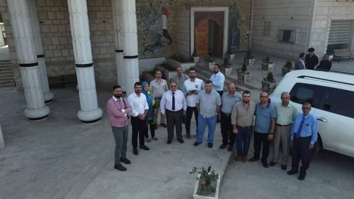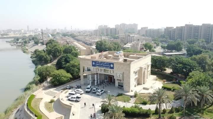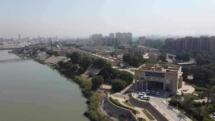
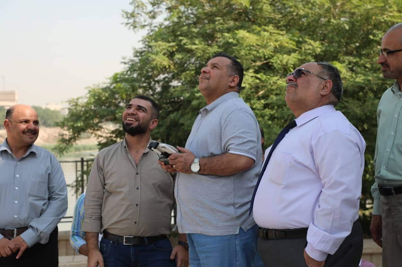
Al-Karkh University of Science opens a drone laboratory in the College of Remote Sensing and Geophysics
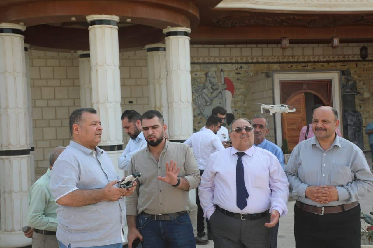
Under the directives of the Chancellor of the University, Professor Thamer Abdelameer Hasan, and in cooperation with the General Authority for Geological Survey and Mining and the Directorate of Agriculture of Babylon, Al-Karkh University of Sciences have opened a laboratory for drones,
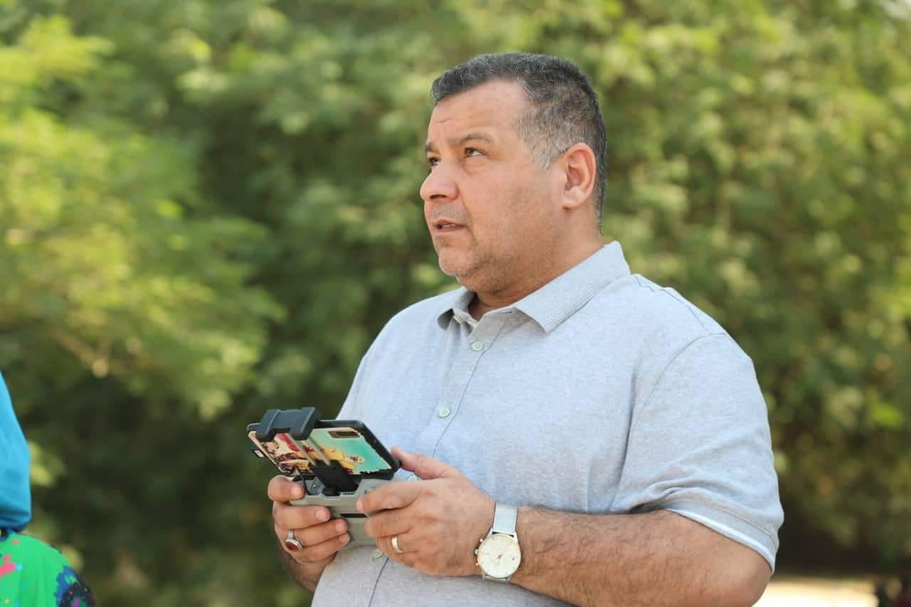
The laboratory is added to the laboratories of the Department of Remote Sensing in the College of Remote Sensing and Geophysics. The aircraft has been operated and aerial photographs taken. The laboratory is considered one of the new and rare laboratories in Iraqi universities.
The Chancellor of the University said that "the opening of this laboratory is for the purpose of training the student with the new concept and the laboratory tools that are used in preparing data that serve the sectors of life related to this science, and how to use the devices to access data that benefits mapping and the necessary information for the sectors of life".
He added that "by using drones, it is now possible to model a three-dimensional area to develop plans and measurements (lengths, surfaces, and volumes). And the implementation of topographical surveys with high accuracy thanks to imaging".
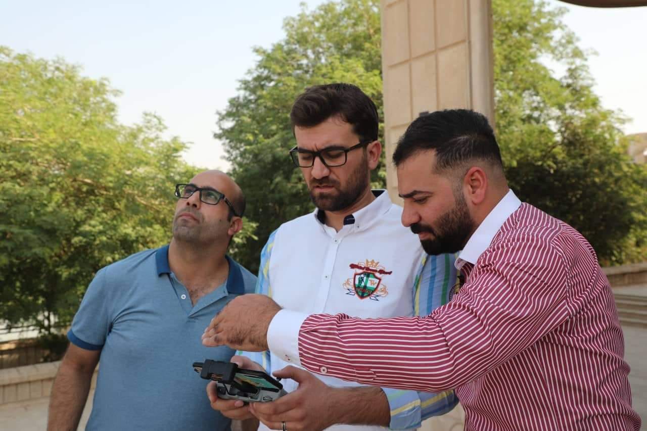
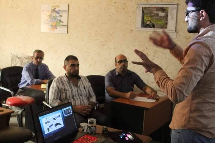
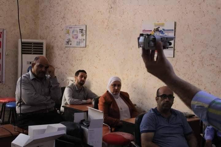
The college has organized a training course regarding the use of drones, in cooperation with the General Authority for Geological Survey and Mining and the Directorate of Agriculture of Babylon, with the participation of the teaching staff in the Department of Remote Sensing, and under the auspices of the Chancellor of the University, Prof. Dr. Thamer Abdelameer Hasan, and in the presence of the Assistant Chancellor of the University for Administrative Affairs, Dr. Kazem Al-Sahlani, And Mr. Dean of the Faculty of Remote Sensing and Geophysics, Dr. Kamal Muhammad Abboud.
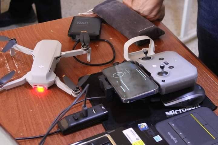
The course, which was divided into two axes, theoretical and practical, included an explanation of the types of DJI cameras, programs for these cameras, and digital image processing programs.
The course included the use of the aircraft in vertical, horizontal and inclined photography, in addition to video photography.
It is noteworthy that this course will be followed by training and development courses for students of the Faculty of Remote Sensing and Geophysics, and it will include specialized vocabulary within the field and field work.