Al-Karkh University of Science organizes a scientific symposium on the occasion of the World Geographic Information Systems Day GIS
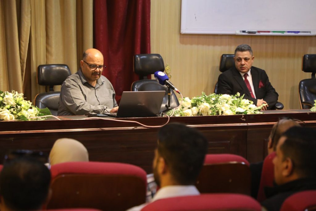
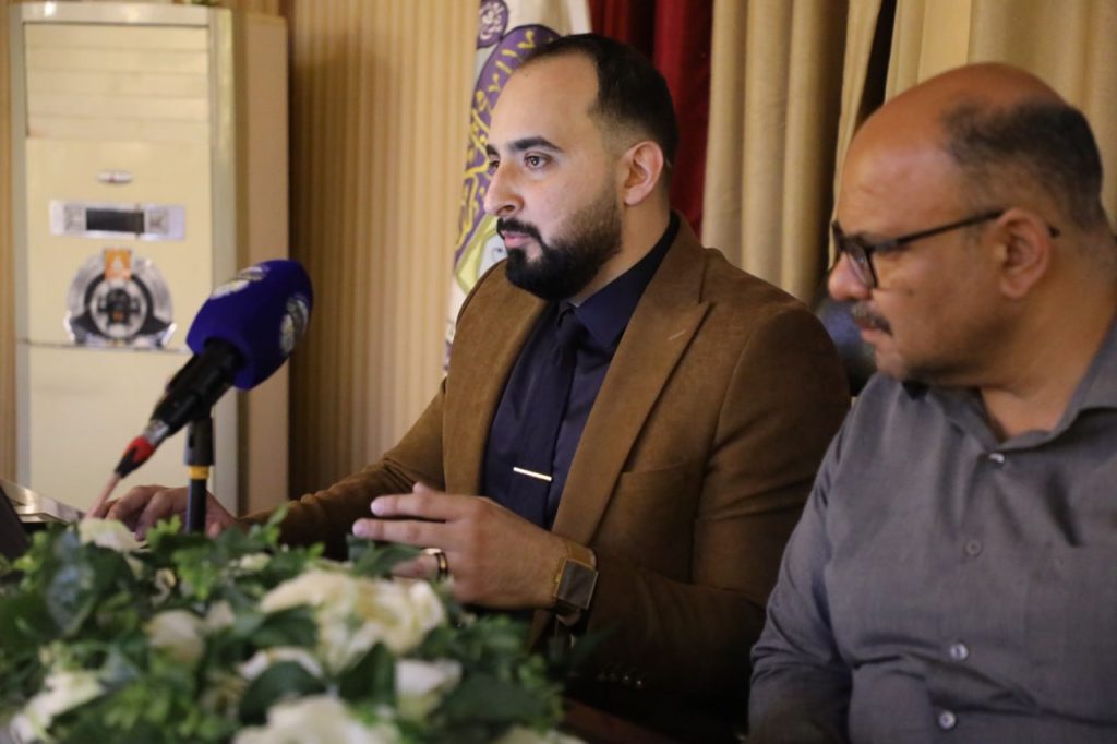
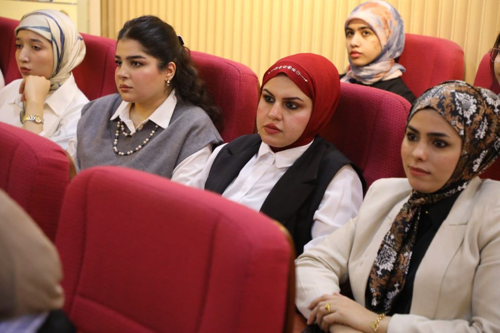
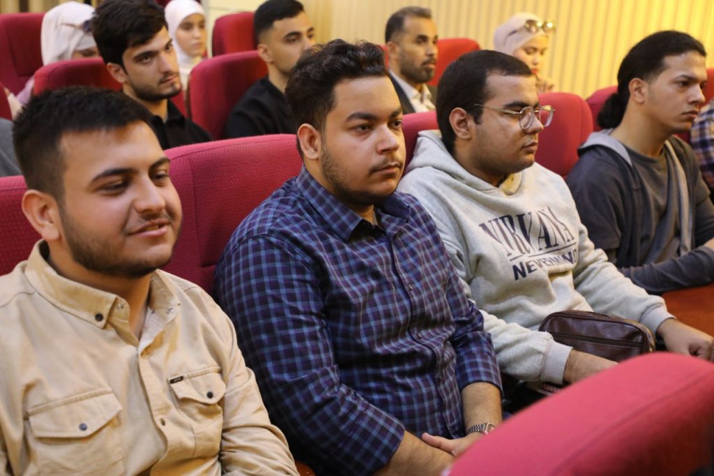
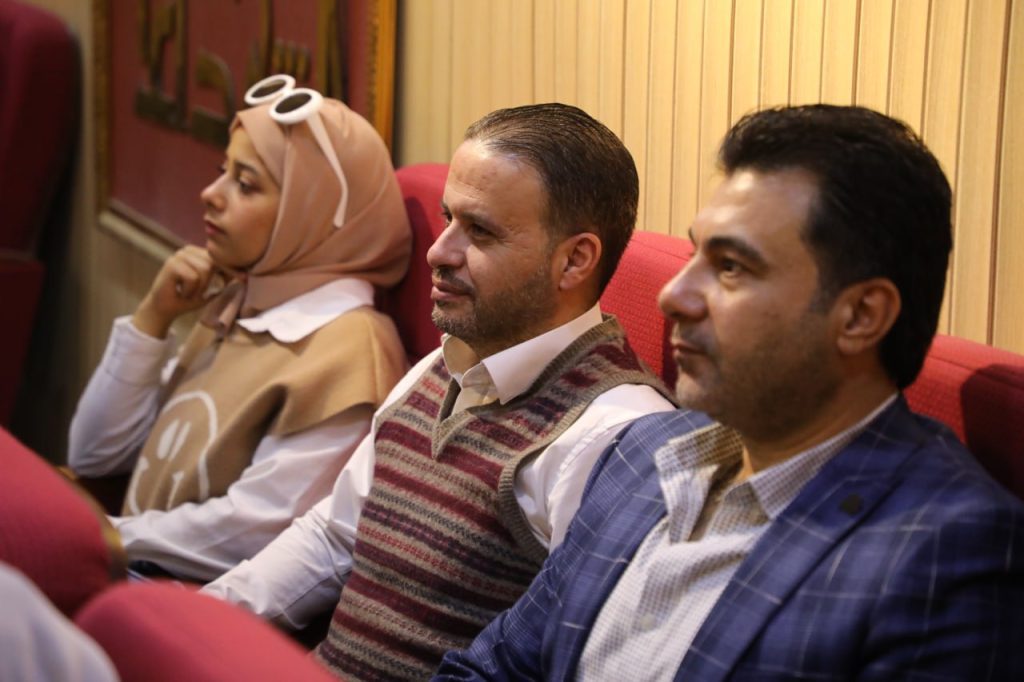
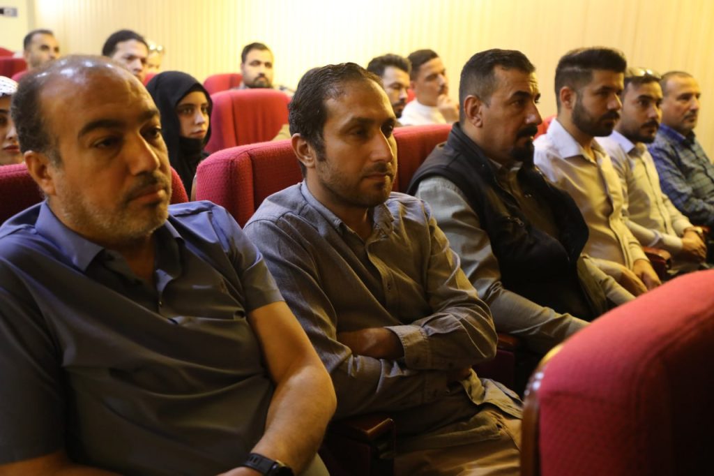
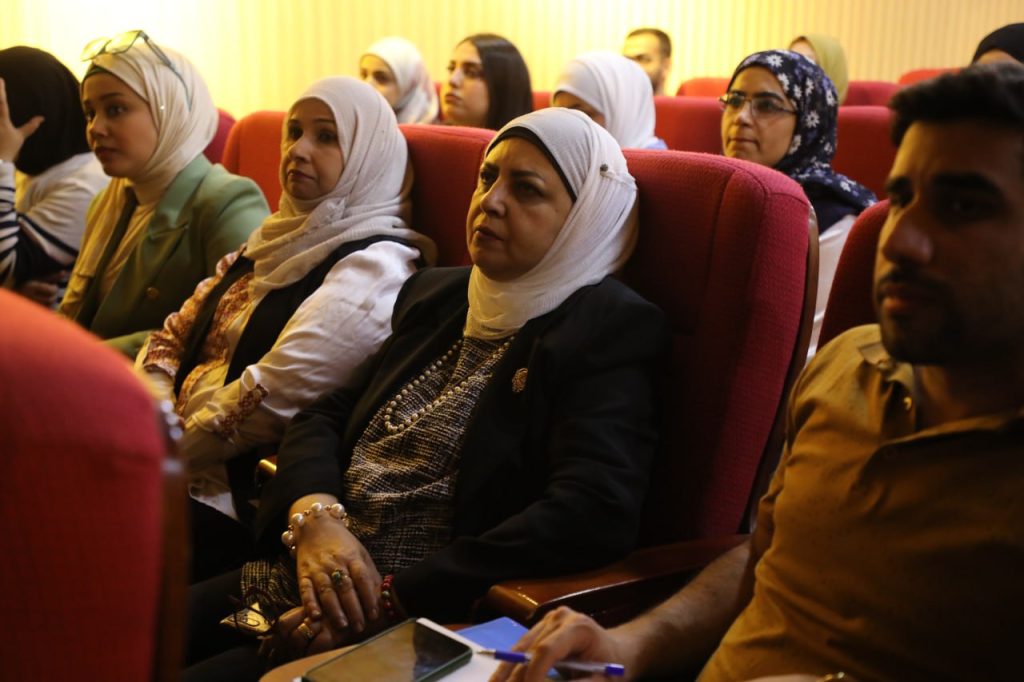
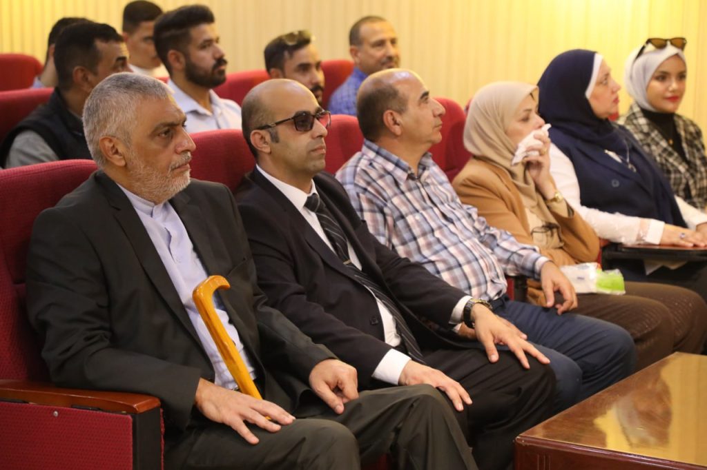
Under the patronage of the President of Al-Karkh University of Science, Assistant Professor Dr. Luay Kazim Abboud, and under the supervision of the Dean of the College of Remote Sensing and Geophysics, Assistant Professor Dr. Ahmed Abbas, the Remote Sensing Department at Al-Karkh University of Science organized a scientific symposium to celebrate the World Geographic Information Systems Day GIS day in the Iraqi Martyrs Hall, with the attendance of a number of university faculty members, staff and students.
The symposium aims to introduce the World Geographic Information Systems Day, which falls on November 13 of each year, and the importance and benefit of using geographic information systems in order to increase awareness in society about this technology, and to contribute to achieving communication and cooperation between the university and the public and private sectors by specialists in geospatial technologies, and to contribute to highlighting new ideas in this field.
The symposium included a number of lectures, including a lecture by the Director of the Climate and Scientific Research Center at the General Authority for Meteorology and Seismic Monitoring, Dr. Aws Ali Hussein, entitled GIS Application in IMOS, which addressed the importance of geographic information systems applications in preparing climate predictive maps and seismic monitoring, and a lecture by researcher Shahd Awf Abdul Rahman on Compute Watershed Grids Systems in the northern region of Iraq. The Assistant Dean of the College of Remote Sensing and Geophysics for Scientific Affairs, Assistant Professor Dr. Waddah Mahmoud Shaker, also gave a lecture entitled SATELLITE ORBITOGRAPHY IN GEOPHYSICAL EXPLORATION, which addressed the role of geographic information systems in preparing magnetic survey maps of the Earth, following up on seismic monitoring, and providing geophysical maps via satellites for the moisture status of soil and ground layers periodically to serve the work of electrical examinations for hydrogeological investigations, in addition to a lecture by the instructor in the Department of Remote Sensing, Prof. Dr. Oras Muhi Taha, entitled GIS Evolution: Revolutionizing Industries and Shaping the Future, showed that the development of geographic information systems (GIS) has revolutionized industries and shaped a bright future for technology and innovation. It is a powerful tool that helps in understanding spatial relationships and making informed decisions.
Al-Kharkh University of Science
Department of Media and Government Communication

