
A training course at the College of Remote Sensing and Geophysics to calculate the surface temperature and the atmosphere
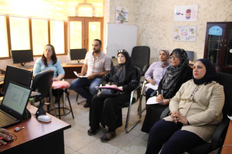
The College of Remote Sensing and Geophysics at Al-Karkh University of Science organized a training course to calculate the surface temperature and the atmosphere (Land surface temperature) from the data of the sensor Landsat 8 OLI with the participation of researchers and specialists.
The course, which was delivered by Dr. Oras Mohitha, included the definition of the basic stages of treatment, including the metric radio processing phase of thermal beams 10, 11, the calculation of geothermal temperature, the digital processing phase of the near-infrared spectral beams (fifth beam), and the red beam which is the fourth beam for calculating the NDVI guide.
The course included how to calculate the surface temperature of the Earth through NDVI treatment to calculate the heat emission from the ground, and the mechanism of preparing a 3D map using the space data ASTER DEM to show the topographic variation of the surface temperature.
The aim of this course is to prepare the final map for the classification and management of lands according to spectral and thermal digital matrices, which serve researchers in the preparation of objective maps of the physical characteristics of their work area.